Guernsey Country Profile
Key Facts of Guernsey
| Government type: | parliamentary democracy (States of Deliberation) |
| Capital: | Saint Peter Port |
| Languages: | English, French, Norman-French dialect spoken in country districts |
Guernsey Demographic Data
Ethnic Groups in Guernsey(2022 est.)
Religious Groups in Guernsey (Anglican, Presbyterian, Baptist, Congregational, Methodist)
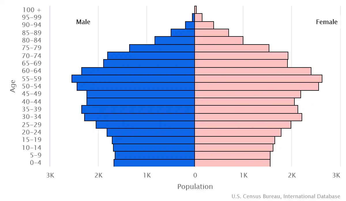
Age pyramid of Guernsey
Guernsey Economy Statistics
Economic overview of Guernsey
high-income English Channel island economy; strong financial sector but stressed due to COVID-19 disruptions; manufacturing, tourism, and construction industries suffered but expected to recover; stable inflation; maintains independent taxation authority
Guernsey Real GDP (purchasing power parity) in Billion $
Guernsey Real GDP per capita in $
Geography of Guernsey
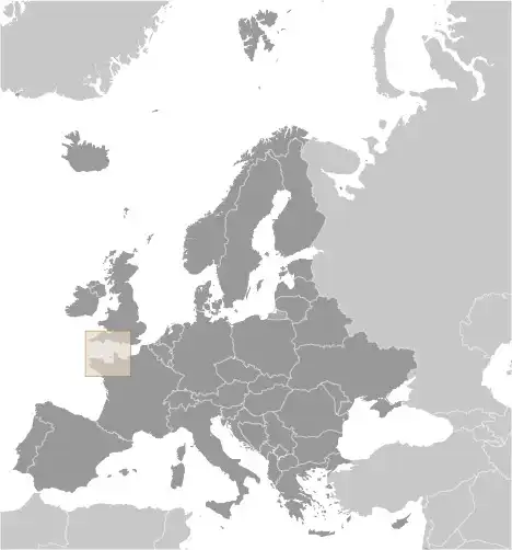
Map of Guernsey
Land and Water Distrubtion of Guernsey
Natural Resources of Guernsey
- cropland 🌾
Climate inGuernsey
temperate with mild winters and cool summers; about 50% of days are overcast
History of Guernsey - a Summary
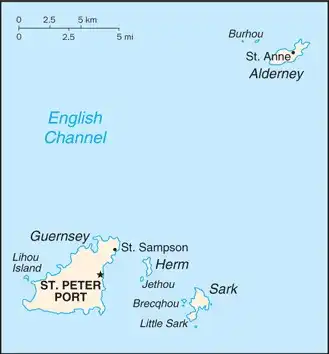
Guernsey and the other Channel Islands represent the last remnants of the medieval Duchy of Normandy, which held sway in both France and England. The islands were the only British soil that Germany occupied in World War II. The Bailiwick of Guernsey consists of the main island of Guernsey and a number of smaller islands, including Alderney, Sark, Herm, Jethou, Brecqhou, and Lihou. The Bailiwick is a self-governing British Crown dependency that is not part of the UK. However, the UK Government is constitutionally responsible for its defense and international representation.