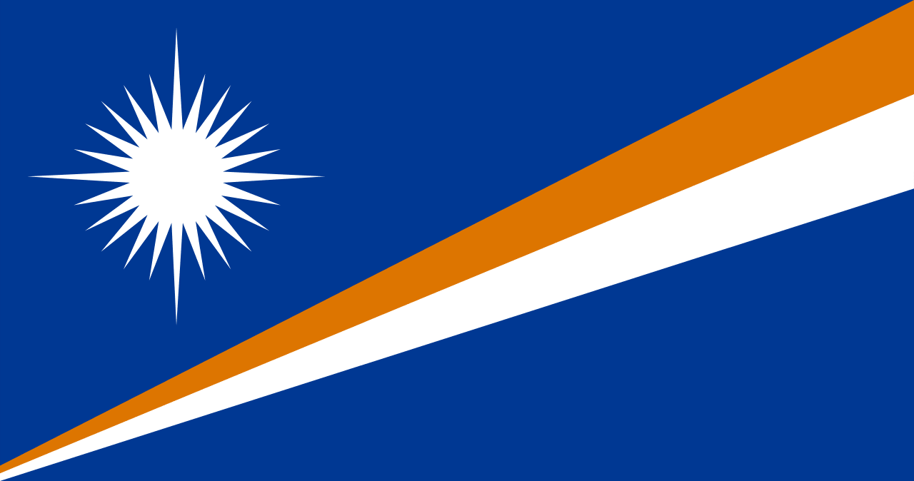
Marshall Islands Country Profile
Key Facts of Marshall Islands
| Government type: | mixed presidential-parliamentary system in free association with the US |
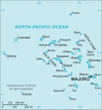
| Capital: | Majuro; note - the capital is an atoll of 64 islands; governmental buildings are housed on three fused islands on the eastern side of the atoll: Djarrit, Uliga, and Delap |
| Languages: | Marshallese (official) 98.2%, other languages 1.8% (1999) |
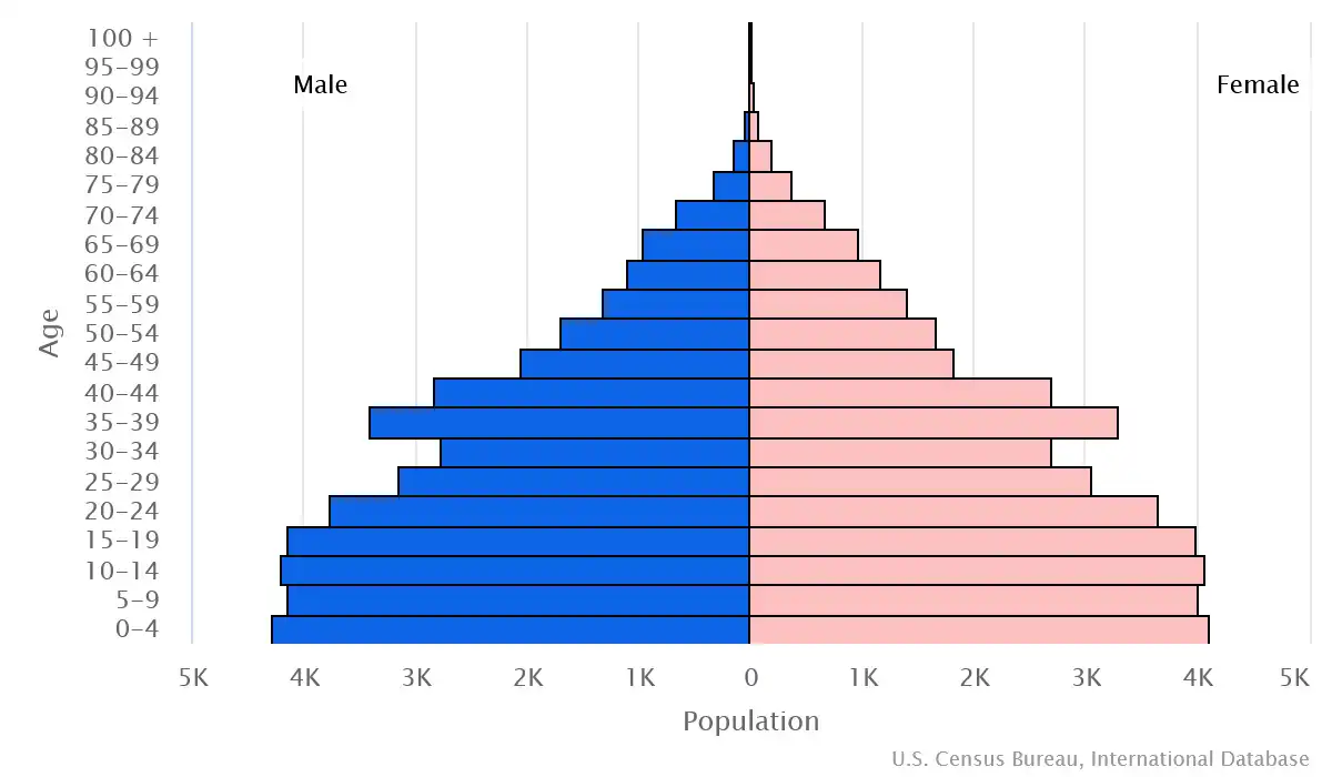
Marshall Islands Demographic Data
Ethnic Groups in Marshall Islands(2021 est.)
Religious Groups in Marshall Islands (2021 est.)
Age pyramid of Marshall Islands
Marshall Islands Economy Statistics
Economic overview of Marshall Islands
upper middle-income Pacific island economy; US aid reliance; large public sector; coconut oil production as diesel fuel substitute; growing offshore banking locale; fishing rights seller; import-dependent
Marshall Islands Real GDP (purchasing power parity) in Billion $
Marshall Islands Real GDP per capita in $
Marshall Islands's Exports & Imports in million $
Top 5 Import Partnerin 2022 (84%) of Marshall Islands
Top 5 Import Commodities in 2022 of Marshall Islands
- ships 🚢
- refined petroleum ⛽
- additive manufacturing machines 🖨️
- centrifuges 🌀
- iron structures 🛠️
Top 5 Export Partnerin 2022 (70%) of Marshall Islands
Top 5 Export Commodities in 2022 of Marshall Islands
- ships 🚢
- refined petroleum ⛽
- fish 🐟
- coated flat-rolled iron 🛠️
- wood carpentry 🌲
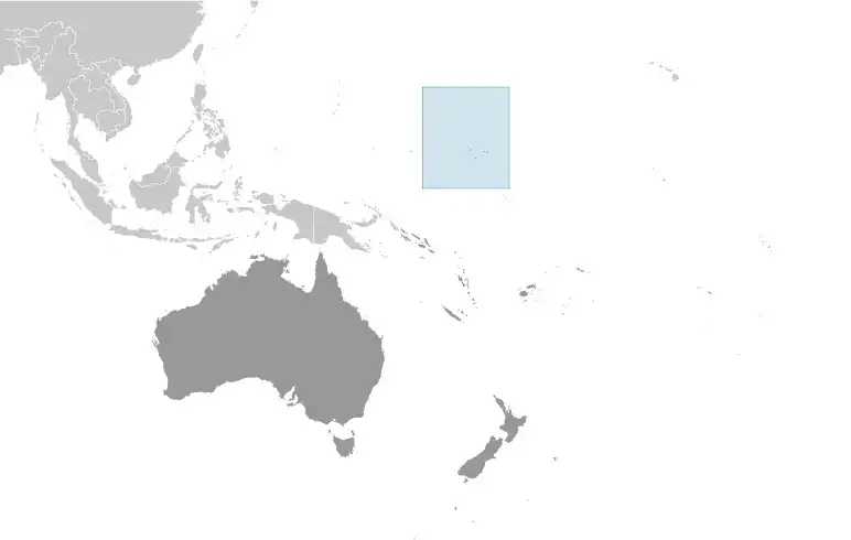
Geography of Marshall Islands
Map of Marshall Islands
Land and Water Distrubtion of Marshall Islands
Natural Resources of Marshall Islands
- coconut products 🥥
- marine products 🐟
- deep seabed minerals 🌊
Climate inMarshall Islands
tropical; hot and humid; wet season May to November; islands border typhoon belt
History of Marshall Islands - a Summary
Humans arrived in the Marshall Islands in the first millennium B.C. and gradually created permanent settlements on the various atolls. The early inhabitants were skilled navigators who frequently traveled between atolls using stick charts to map the islands. Society became organized under two paramount chiefs, one each for the Ratak (Sunrise) Chain and the Ralik (Sunset) Chain. Spain formally claimed the islands in 1592. Germany established a supply station on Jaluit Atoll and bought the islands from Spain in 1884, although paramount chiefs continued to rule.
Japan seized the Marshall Islands in 1914 and was granted a League of Nations Mandate to administer the islands in 1920. The US captured the islands in heavy fighting during World War II, and the islands came under US administration as part of the Trust Territory of the Pacific Islands (TTPI) in 1947. Between 1946 and 1958, the US resettled populations from Bikini and Enewetak Atolls and conducted 67 nuclear tests; people from Ailinginae, Rongelap, and Utrik Atolls were also evacuated because of nuclear fallout, and Bikini and Rongelap remain largely uninhabited. In 1979, the Marshall Islands drafted a constitution separate from the rest of the TTPI and declared independence under President Amata KABUA, a paramount chief. In 2000, Kessai NOTE became the first commoner elected president. In 2016, Hilda HEINE was the first woman elected president.