Saint Barthelemy Country Profile
Key Facts of Saint Barthelemy
| Government type: | parliamentary democracy (Territorial Council); overseas collectivity of France |
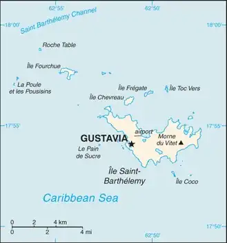
| Capital: | Gustavia |
| Languages: | French (primary), English |
Saint Barthelemy Demographic Data
Ethnic Groups in Saint Barthelemy
Religious Groups in Saint Barthelemy
Saint Barthelemy Economy Statistics
Economic overview of Saint Barthelemy
high-income French Caribbean territorial economy; duty-free luxury commerce and tourism industries; import-dependent for food, water, energy, and manufacturing; large Brazilian and Portuguese labor supply; environmentally fragile
Saint Barthelemy Real GDP (purchasing power parity) in Billion $
no data
Saint Barthelemy Real GDP per capita in $
No data
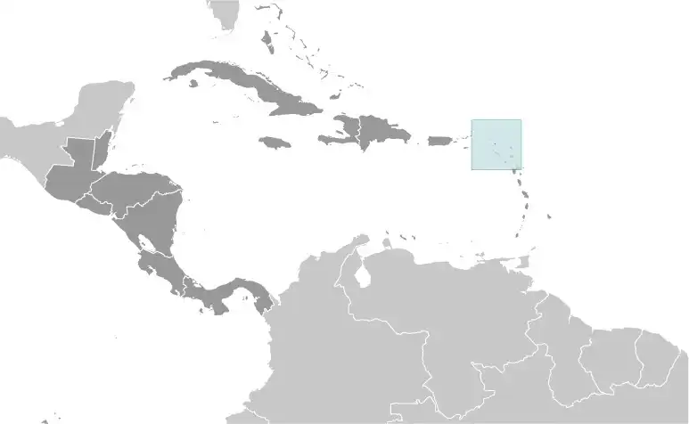
Geography of Saint Barthelemy
Map of Saint Barthelemy
Land and Water Distrubtion of Saint Barthelemy
Natural Resources of Saint Barthelemy
- few natural resources; beaches foster tourism 🏖️
Climate inSaint Barthelemy
tropical, with practically no variation in temperature; has two seasons (dry and humid)
History of Saint Barthelemy - a Summary
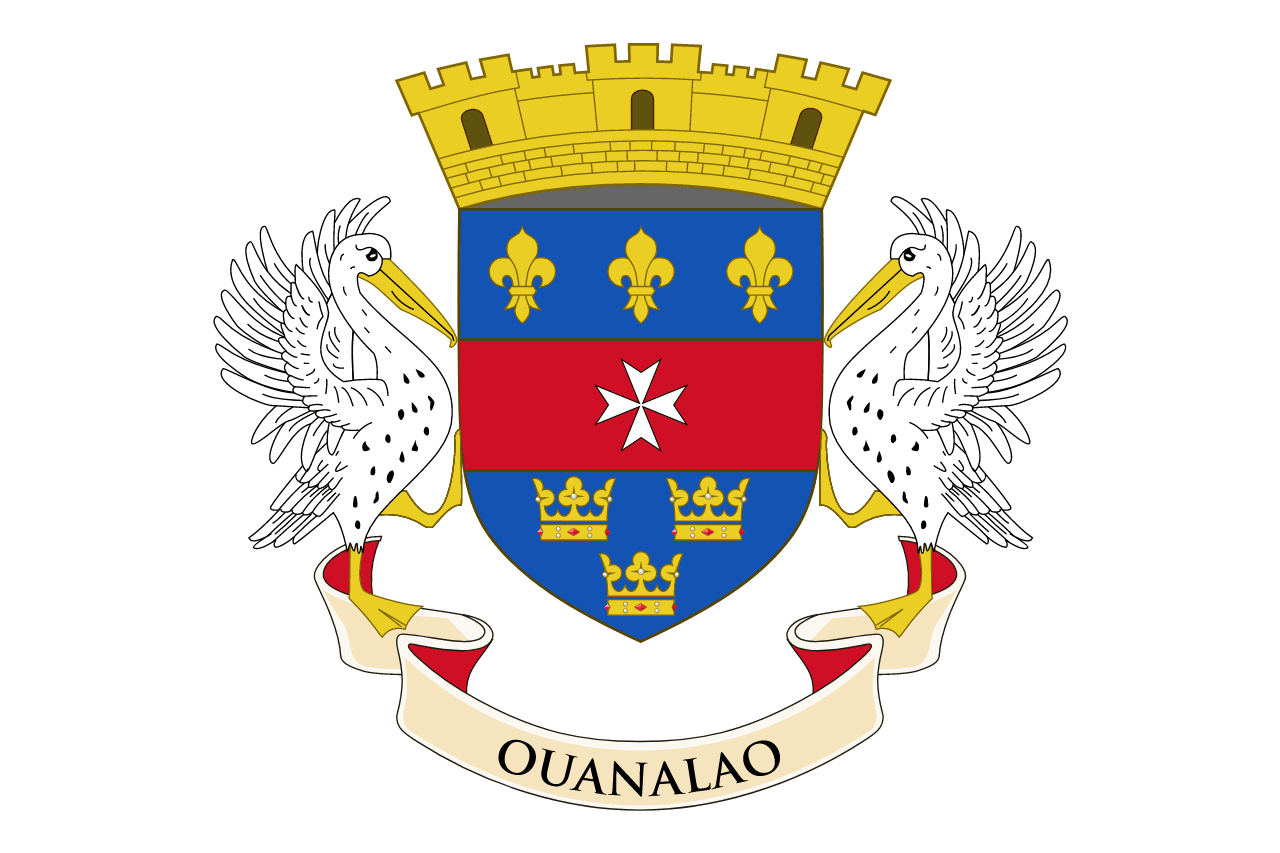
In 1493, Christopher COLUMBUS named Saint Barthelemy for his brother Bartolomeo, but the island was first settled by the French in 1648. In 1784, France sold the island to Sweden, which renamed the largest town Gustavia after the Swedish King GUSTAV III and made it a free port; the island prospered as a trade and supply center during the colonial wars of the 18th century. France repurchased the island in 1877 and took control the following year, placing it under the administration of Guadeloupe. Saint Barthelemy retained its free port status along with various Swedish appellations such as Swedish street and town names, and the three-crown symbol on the coat of arms. In 2003, the islanders voted to secede from Guadeloupe, and in 2007, the island became a French overseas collectivity. In 2012, it became an overseas territory of the EU, allowing it to exert local control over the permanent and temporary immigration of foreign workers, including non-French European citizens. Hurricane Irma hit the island in 2017 and caused extensive damage.